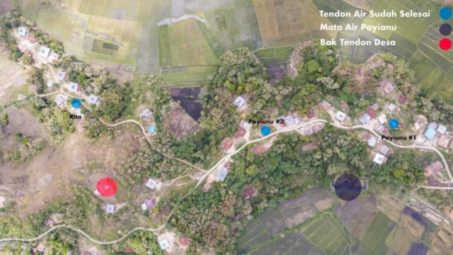
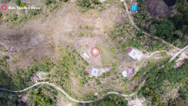
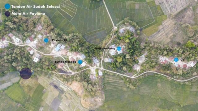
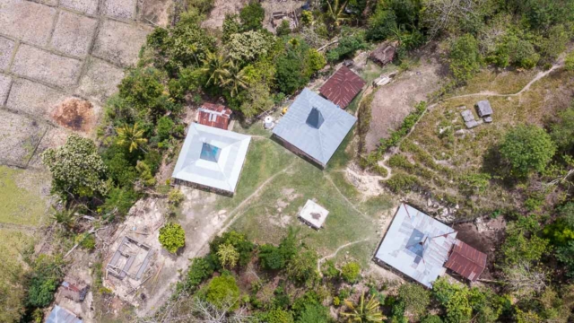
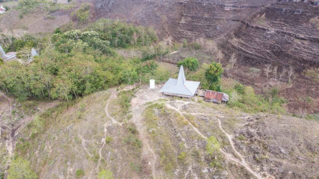
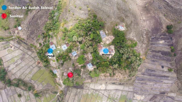
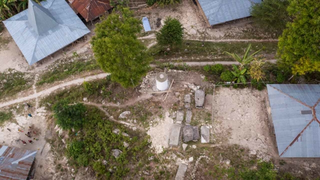
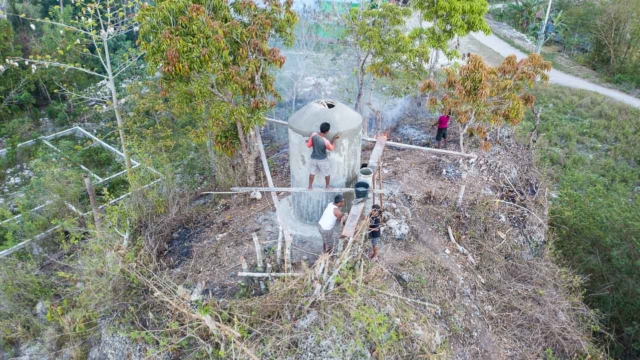
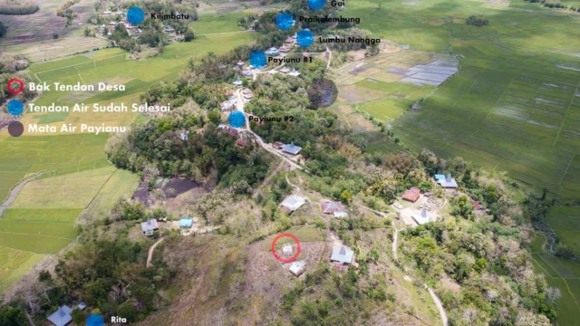
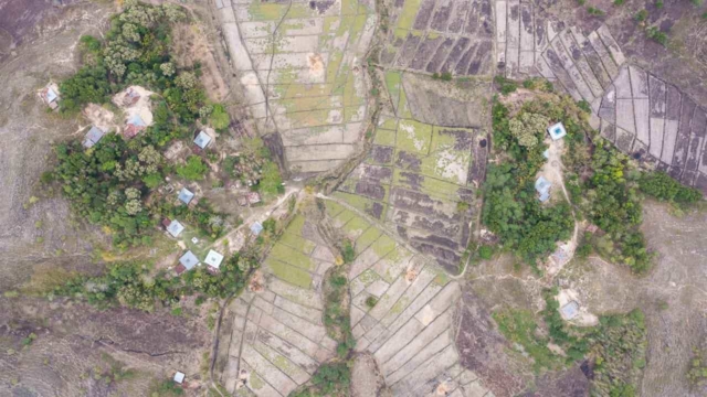
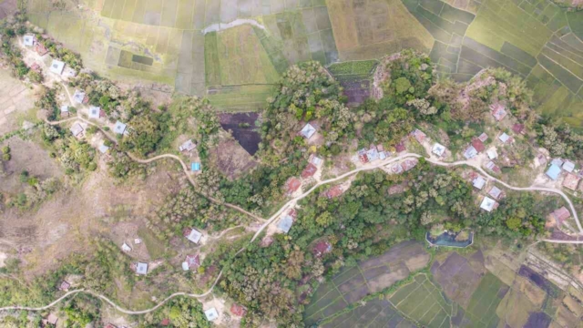
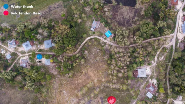
Interactive map of the Water Connections Project, Mbinudita site, East Sumba NTT, Indonesia by Fair Future & Kawan Baik foundations
This Google map is for all of us on construction sites, an indispensable tool we update as regularly as possible. This allows us, among other things, to measure and calculate distances, altitudes, and differences in the levels.
Fair Future develops participatory monitoring tools as part of its screening and definition of needs. This map is produced as part of the #WaterConnections project. It is updated as a new sewerage installation, a new deep borehole, a new clean water reservoir and everything that directly or indirectly affects this project is built. This Google map allows us to work, do this project and calculate: Heights, elevations, distances, depths etc… Thanks to this tool, this project is much easier to set up.


