Interactive map of the Water Connections Project, Mbinudita site, East Sumba NTT, Indonesia by Fair Future & Kawan Baik foundations
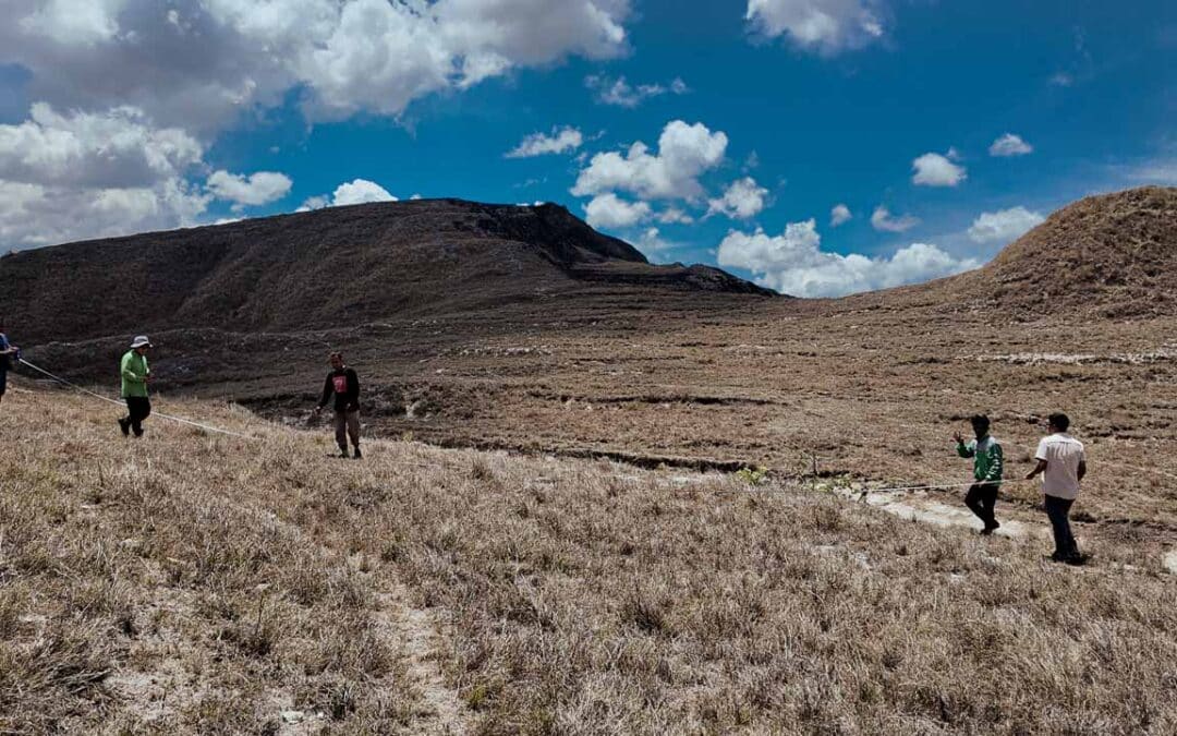
This Google map is for all of us on construction sites, an indispensable tool we update as regularly as possible. This allows us, among other things, to measure and calculate distances, altitudes, and differences in the levels.
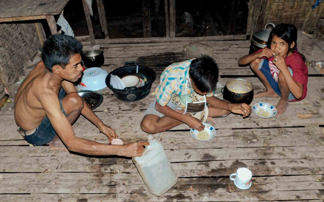
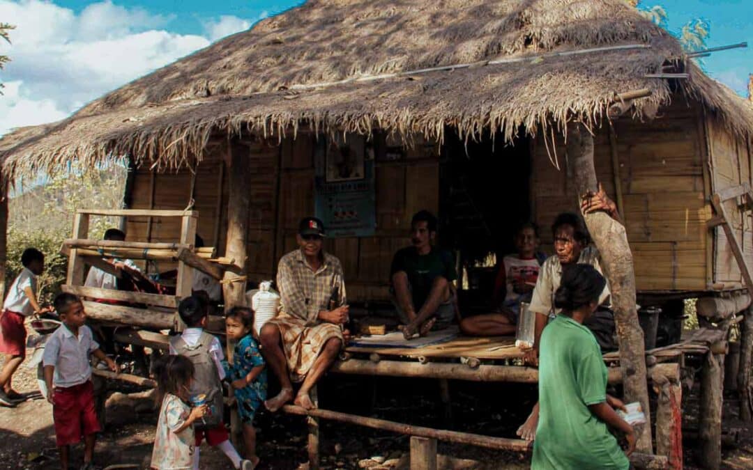
Health problems are also increasing, as well as nutritional problems (starvation and malnutrition), mainly affecting children and other so-called “vulnerable” people. The crisis linked to the lack of drinking and consumable water is an absolute priority here to improve the population’s health and the local economy.
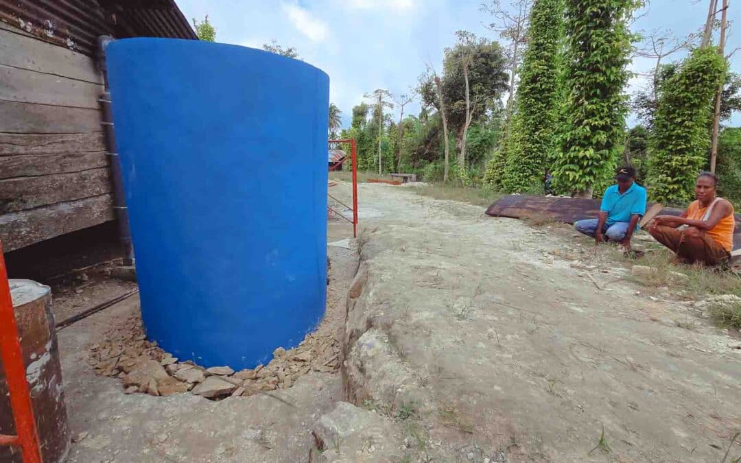
That is why we drill wells, create clean water networks, and build healthy sanitation facilities in the most complicated areas. Where live communities, for lack of clean water, are in permanent danger. When and where we implement these programs, people face starvation or severe nutritional deficiencies. This is an observation that we make every day here, on-site.
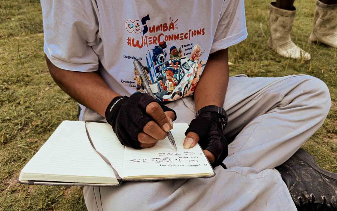
This map is a real working tool for all of us in the field, the builders of this project. Without this map and without the tools linked to Google map, we would not be able to calculate the levels, measure the distances, the differences in height which allow the water to circulate between the various installations.
This tool also allows us to identify a social, medical, human or infrastructural problem in a new place, village or region. But also to document it in real-time, evaluate it, monitor it and measure whether the situation changes. But also, over time, to identify the actions that have or have not been implemented to find the best solution to solve the problem.
For any information on using this map, or if you wish to integrate it into your website, don’t hesitate to contact Kawan Cae here.
We wish you a beautiful day wherever you are. Remember to take care of yourself and everyone you love. It is the most important. Alex Wettstein – Fair Future Foundation – 28.10.2022, Rumah Kambera.
Play with this Google map | Location: East Sumba, NTT – Indonesia
First, click on the map to work on it (your cursor icon will change from an arrow to a hand). You need to click it again if you move your cursor outside the map field – At the top left, there is a button to show and hide legends – Use the mouse scroll to zoom in / out – Click on the icon to see the detail info
Why do we all need to have access to clean water and sanitation?
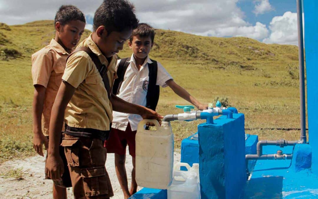
Fair Future and Kawan Baik have launched a program to provide access to drinking water and sanitation solutions to dozens of villages without direct water or sanitation solutions in East Sumba (NTT). This program, which began in 2021, has no end date. Water Connections aims to create clean water networks near where people live in rural areas of eastern Indonesia. And provide them with direct access to a source of clean and healthy water.
Water connections is the creation of a clean water network for families from rural areas in eastern Indonesia. Each facility includes gender-specific toilets, showers and access to life-sustaining drinking water. These water points also aim to improve people’s health, especially children. From a single borehole, we create water networks using the slope of the land, solar energy or hydrodynamic pumps. Water to reduce infant mortality, birth problems and serious illnesses linked to the consumption of unsanitary water. Improving living conditions, creating economic opportunity, creating wealth and mental well-being.
Click here for more information about Water Connections
#MAPS #SOCIALMAPS #CLEANWATER #NTT #SOCIALWORK #SOCIALWORKER #GOOGLEMAP #INNOVATION #WEARETHEFUTURE #INNOVATIVEPROJECT #GEOSOCIALINTERACTIONS #WATERCONNECTIONS #KAWANBAIKSUMBA #KAWANBAIKINDONESIA #KAWANSEHAT #SUMBA #INNOVATION #WATERFORLIFE


